

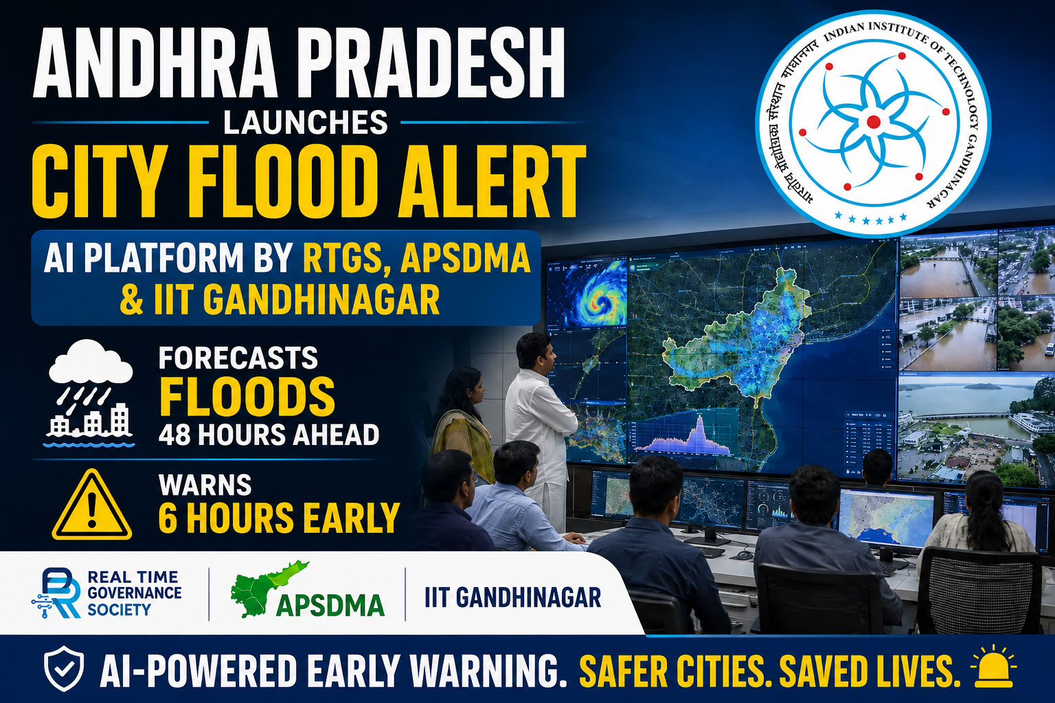
Andhra Pradesh launches City Flood Alert, an AI platform by RTGS, APSDMA and IIT Gandhinagar that forecasts floods 48 hours ahead and warns six hours early.
A shift from reaction to prediction
The Andhra Pradesh government has launched City Flood Alert, an AI-powered platform designed to predict urban flooding before it occurs. The Real Time Governance Society (RTGS) developed the system together with the Andhra Pradesh State Disaster Management Authority (APSDMA) and IIT Gandhinagar. The platform aims to move the state from reactive flood response to predictive governance, enabling authorities to take preventive measures well in advance.
According to an RTGS press release issued on July 26, 2026, the system combines artificial intelligence, satellite-based terrain mapping, predictive analytics and hydrological modelling. It provides rainfall forecasts up to 48 hours in advance and flash flood warnings up to six hours ahead. That time window gives officials a crucial opportunity to prepare drains, deploy emergency teams and evacuate residents in vulnerable areas before water levels rise.
Why Vijayawada comes first
The platform will initially be deployed in Vijayawada, where recurring floods have frequently affected low-lying areas. The Budameru rivulet, which flows through the city, has caused repeated inundation during heavy rains. By starting in Vijayawada, the state targets a location where flood risk is high and historical data are rich, making it an ideal testbed for the technology.
Using a high-resolution Digital Elevation Model created from satellite imagery and nearly three decades of historical Budameru flood data, the system can identify flood-prone locations. It simulates inundation under different rainfall scenarios and detects drainage channels vulnerable to silt accumulation. That allows officials to see not just where water may accumulate, but also which drains are likely to choke under specific conditions.
How the AI platform works
City Flood Alert integrates multiple data streams to generate actionable forecasts. Satellite-based terrain mapping provides a detailed picture of elevation, slope and drainage patterns across the city. Historical flood data help the AI model learn how the Budameru and surrounding areas have responded to past rainfall events. Predictive analytics then combine these inputs with weather forecasts to estimate how water will move through the urban landscape.
Once the system identifies a flood threat, it automatically alerts the APSDMA. The authority can then issue timely advisories to District Collectors, Municipal Commissioners and field officials. Those advisories can trigger specific actions such as drain clearance, emergency team deployment and evacuation of vulnerable residents. By automating the alert process, the platform reduces delays and ensures that warnings reach decision-makers quickly.
From pilot to statewide rollout
Following its rollout in Vijayawada, City Flood Alert will be expanded to all urban local bodies across Andhra Pradesh. That plan reflects the state’s ambition to make predictive flood management a standard feature of urban governance. As climate change intensifies rainfall variability and extreme weather events, such tools can help cities prepare more effectively and reduce loss of life and property.
The expansion will require adaptation to local conditions in each city. Different urban areas have distinct drainage networks, land-use patterns and flood histories. The platform will need to integrate local data and calibrate its models to each context. Still, the Vijayawada pilot provides a strong foundation for scaling the system across the state.
Technology meeting disaster management
The project marks a significant convergence of advanced technology and disaster management expertise. RTGS brings real-time governance and data-driven decision-making experience. APSDMA contributes operational knowledge of disaster response and risk reduction. IIT Gandhinagar adds technical depth in AI, hydrological modelling and geospatial analysis. Together, they have created a platform that translates complex data into clear, actionable warnings.
That collaboration also signals a broader trend in Indian governance. States are increasingly using AI, satellite data and predictive analytics to manage climate risks. Andhra Pradesh’s initiative sets a benchmark for climate-resilient urban management and offers a model that other states can adapt to their own flood-prone cities.
Building climate-resilient cities
City Flood Alert does more than predict floods; it helps cities plan for them. By identifying flood-prone locations and vulnerable drainage channels, the system supports long-term infrastructure planning. Municipal authorities can use the insights to prioritise drain desilting, upgrade culverts and redesign flood-prone zones. Over time, that can reduce the frequency and severity of urban flooding.
The platform also strengthens community resilience. Early warnings give residents more time to protect their homes, move valuables and, if necessary, evacuate. That can reduce panic, improve coordination and save lives during extreme weather events. For a state like Andhra Pradesh, where coastal and riverine flooding pose recurring threats, such tools can make a tangible difference in everyday safety.
A new standard for urban governance
With City Flood Alert, Andhra Pradesh has taken a decisive step toward predictive, data-driven urban governance. The system shows how AI can support public safety when it is integrated with strong institutional processes and local knowledge. As the platform scales across the state, it will test how well technology can adapt to diverse urban environments and support consistent, timely action.
If the Vijayawada pilot delivers on its promise, the initiative could become a reference point for other Indian states facing similar challenges. It demonstrates that technology alone is not enough; success depends on how well governments use data to guide decisions, coordinate agencies and protect communities. In that sense, City Flood Alert is not just a tool; it is a new approach to managing climate risk in Indian cities.
#AndhraPradesh #CityFloodAlert #UrbanFloods #AIForecasting #IITGandhinagar #RTGS #APSDMA #Vijayawada #FloodPrediction #ClimateResilience
Disclaimer
The information in this article is based on available public sources and official statements as of the time of publication. While we aim for accuracy, we do not guarantee completeness or correctness. We advise readers to verify key details from official sources before making any decisions. The website (iitiimsamvaad.com) is not liable for any loss or damage arising from the use of this content. The authors are also not responsible for any such loss or damage.