

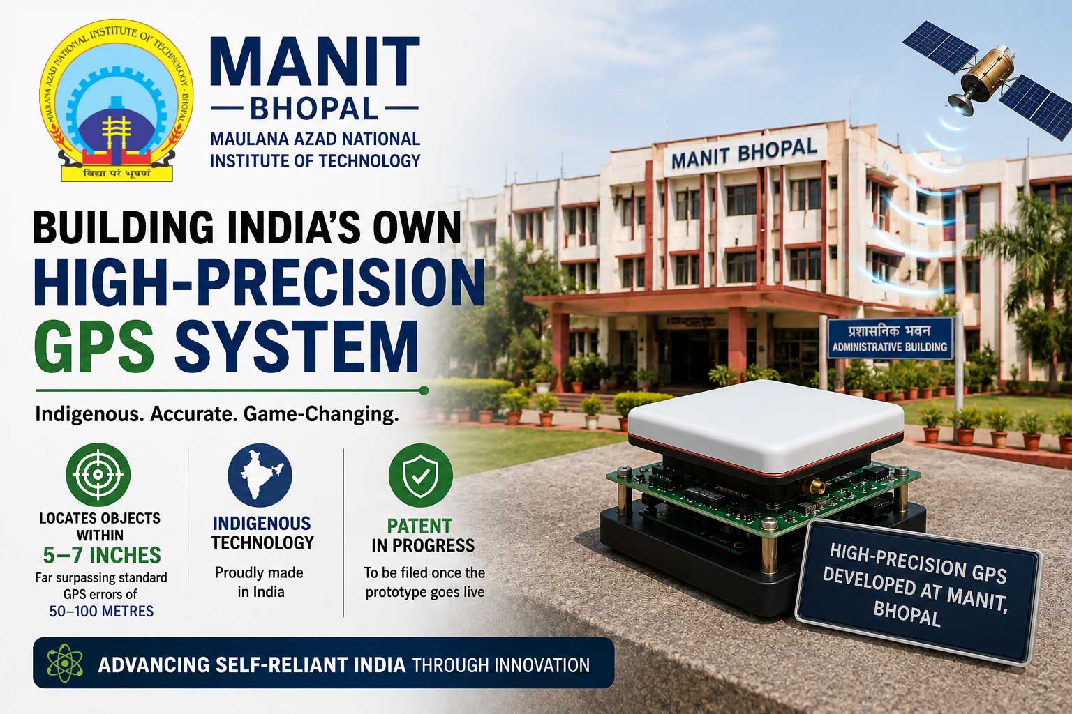
Researchers at Maulana Azad National Institute of Technology (MANIT), Bhopal, are building an indigenous high‑precision GPS system that locates objects within 5–7 inches, far surpassing standard GPS errors of 50–100 metres, and expects to file a patent once the prototype goes live.
A Home‑Grown Solution for “Wrong” GPS Directions
Tired of ending up at dead‑ends because Google Maps or your phone’s GPS takes you to the wrong street? A team at MANIT Bhopal is developing a navigation system that could fix that frustration. Their prototype promises location accuracy within 5–7 inches, compared with typical GPS errors of 50–100 metres in everyday mobile and map services.
The project, titled “Development and Deployment of Reliable, Robust and Affordable Inch‑Level Accurate Positioning Solution for Enabling Digital India,” is being led by researchers Gaurav Upadhyay, Shashwat Pathak, RN Yadav and Rahul Raj. The team says the system is expected to be fully ready within about a month, after which they plan to file a patent application.
High‑Precision Technology on a Modest Budget
The project has received around ₹36 lakh in funding from the IIT Tirupati Navavishkar I‑Hub Foundation, which focuses on positioning and precision technologies under India’s National Mission on Interdisciplinary Cyber‑Physical Systems. Using this support, the MANIT team is integrating satellite‑based navigation systems, Real‑Time Kinematic (RTK) correction techniques, advanced antennas, and real‑time data‑processing algorithms to achieve inch‑level accuracy.
While standard GPS often drifts by several metres due to atmospheric interference and signal noise, the new system uses correction signals and high‑grade receivers to pin locations much more tightly. This combination allows the device to translate raw satellite data into precise, on‑ground coordinates almost instantly.
Applications Across Sectors
The researchers expect the technology to transform multiple sectors that rely on accurate positioning. In agriculture, the system can enable precise field mapping, optimised irrigation, targeted soil testing, and crop‑health monitoring, helping farmers cut input costs and improve yields.
The GPS module can also guide drones more accurately for aerial surveys, mapping, and precision spraying, making agritech and disaster‑management operations safer and more efficient. In smart‑city projects, the technology can support smart traffic management, real‑time vehicle tracking, and automated toll or lane‑control systems.
For robotics and autonomous vehicles, inch‑level positioning can help self‑driving cars and industrial robots navigate narrow lanes, parking bays, and complex urban environments with far greater confidence. Civil‑engineering teams can use the system for exact land surveying and digital mapping, while logistics and logistics‑tech platforms can track fleets and delivery routes with unprecedented precision.
Strengthening India’s Navigation Capabilities
Lead researcher Gaurav Upadhyay emphasised that the system aims to strengthen India’s self‑reliance in high‑precision navigation. He said the technology would support India’s push in smart mobility, intelligent transport systems, robotics, and Industry 4.0 applications. By reducing dependence on imported GNSS equipment and proprietary solutions, the project also aligns with the broader “Atmanirbhar Bharat” vision for precision‑technology infrastructure.
The team is also working to make the solution affordable and scalable, so that small‑scale farmers, local governments, and startups can adopt it without prohibitive hardware costs. Once the prototype is complete and the patent filed, the researchers plan to collaborate with industry partners and government agencies to deploy the technology in pilot projects across agriculture, smart‑city deployments, and drone‑based services.
If successfully commercialised, MANIT Bhopal’s inch‑accurate GPS could become a key building block for India’s digital‑infrastructure and smart‑transport ecosystem, turning today’s confusing map directions into reliable, centimetre‑level guidance.
Disclaimer
The information in this article is based on available public sources and official statements as of the time of publication. While we aim for accuracy, we do not guarantee completeness or correctness. We advise readers to verify key details from official sources before making any decisions. The website (iitiimsamvaad.com) is not liable for any loss or damage arising from the use of this content. The authors are also not responsible for any such loss or damage.